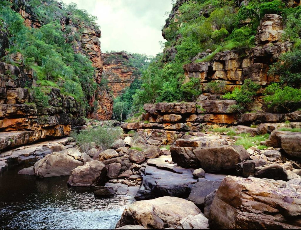
The Kimberley region of Western Australia is just magical. A visit there will continue to draw you back into probably the most remote and extreme region on the Australian continent.
The following images were taken over 4 weeks in March and April 1990 on a self-guided walk from the mangrove swamps of the Prince Regent River to an airstrip on the Mitchell Plateau. This walk covered some 320 kilometres in total, where we only used compasses and 1:100,000 scale topographical maps for navigation. (GPS was only invented in 1973 and public access to the full constellation of 24 GPS satellites only became available in 1993.) We carried all of our food on our backs and mostly navigated along water courses. March and April is at the end of the hot and humid monsoonal wet season so clean flowing water was plentiful, providing access to adequate drinking water. The country contains some of the most rugged and challenging terrain I have ever walked, being mostly composed of broken sandstone blocks interspersed with sharp spinifex grass. This trip was the most difficult task I have ever undertaken (both physically and mentally). However, I have never stopped wanting to go back again…


